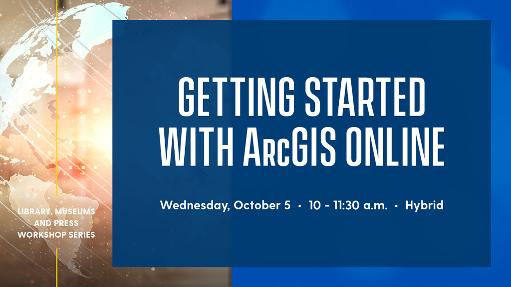
Event Details
About this Event
A geographic information system (GIS) is a powerful tool for mapping and analyzing spatial data. Discover how GIS can support your research, and how the ArcGIS Online platform—a robust, user-friendly, web-based mapping tool—can help explain and display your data to a broad audience.
During this workshop, you’ll have the opportunity to practice using Esri’s ArcGIS Online platform with the assistance of instructors. You’ll explore how to add data to an online map and display it in a web-mapping application that can be viewed on many platforms, including web browsers, desktop map viewers and mobile devices.
The workshop will be led by Lillian Wang, GIS specialist and cartographer for the Delaware Geological Survey; Olena Smith, lead geospatial information consultant for UD IT Research Cyberinfrastructure; and Daniel Peart, data services librarian. It is co-sponsored by UD IT Research Cyberinfrastructure, the Delaware Geological Survey and the Graduate College.
This is a hybrid workshop that is open to UD students, faculty and staff. You may choose to join us in person or via Zoom.
Registration is required. Once registered, you will receive an email with details on how to join the workshop via Zoom. The workshop will not be recorded.
If you are interested in this workshop, you may also be interested in Basics of Geographic Information Systems (GIS) on September 21; Getting Started with ArcGIS Pro on September 28; and Getting Started with ArcGIS StoryMaps on October 12.