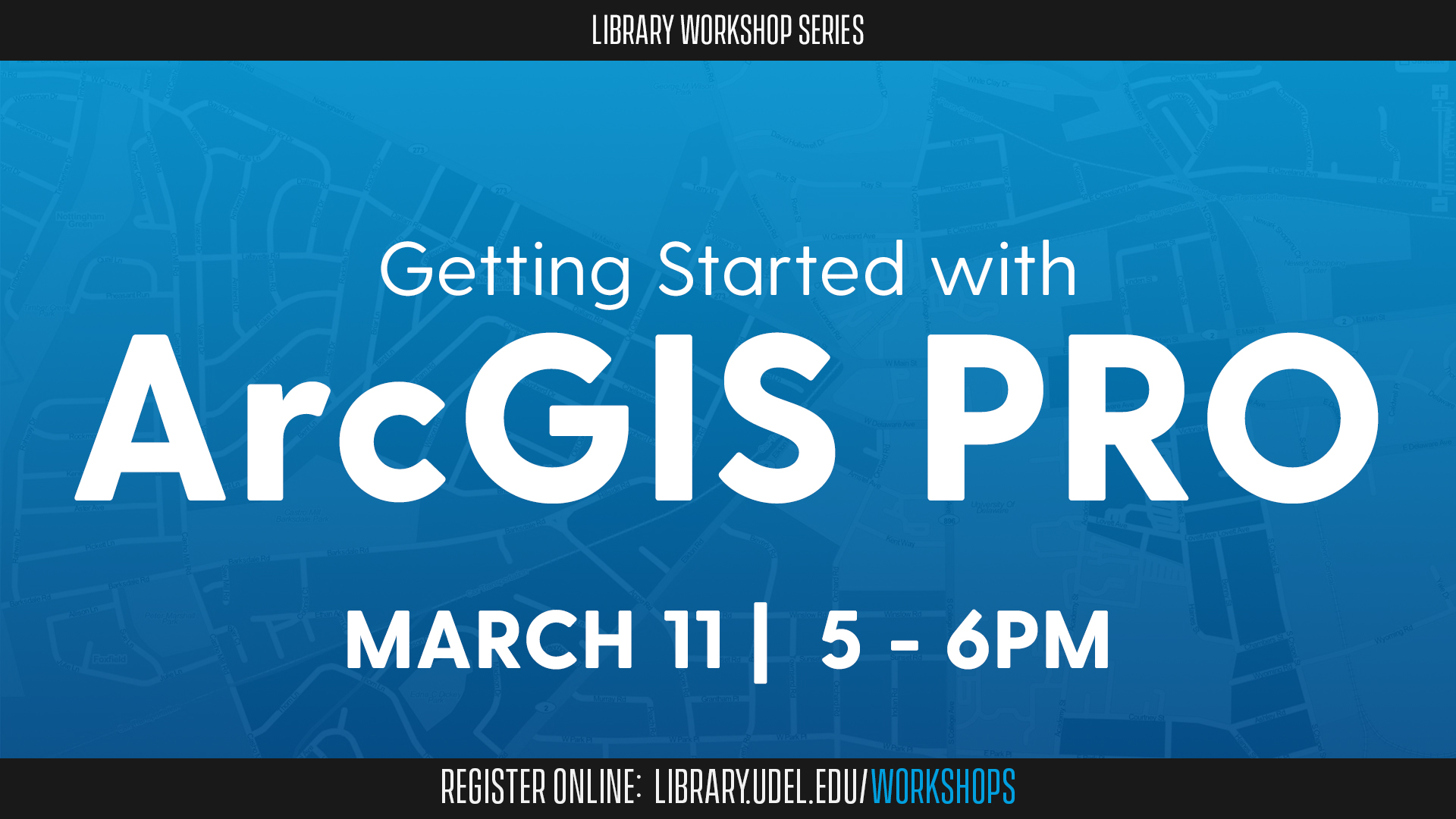
Event Details
About this Event
Meet the future platform of geographic information systems (GIS): ArcGIS Pro. During this workshop, get familiar with GIS concepts by exploring how you can search, analyze, edit and share maps and data in ArcGIS Pro.
With this application, you can create 3D scenes to display, interact with and analyze your data in new ways—and you can convert two-dimensional maps to 3D scenes. You also can keep multiple maps, layouts, tables and charts in a single ArcGIS Pro project.
ArcGIS Pro is a robust GIS platform ideal for display and spatial analysis of data. It is integrated with ArcGIS Online and various cloud-based apps for collecting and reporting data.
Olena Smith, lead geospatial information consultant for UD IT’s Research Computing Group, will lead the workshop. It is co-sponsored by UD IT’s Research Computing Group.
This workshop is open to UD students, faculty and staff. Registration is required as seating is limited.
Want more GIS? Check out these workshops:
Getting Started with PolicyMap
Getting Started with ArcGIS Online
Getting Started with ArcGIS StoryMaps